
Barna Ahmed
Burghfield St Mary’S C of E Primary School
Access to education in Bangladesh has expanded dramatically over the past three decades. Enrolment rates at the primary level are near universal, and gender parity in secondary schooling represents a genuine national achievement. Yet beneath these headline figures lies a more troubling reality: the spatial distribution of schools, the absence of functional catchment area planning, and the persistent disconnect between education location policy and the lived geography of Bangladeshi families continue to undermine educational quality, equity, and outcomes in ways that enrolment statistics alone do not capture.
The Catchment Area Problem: Planning That Does Not Plan
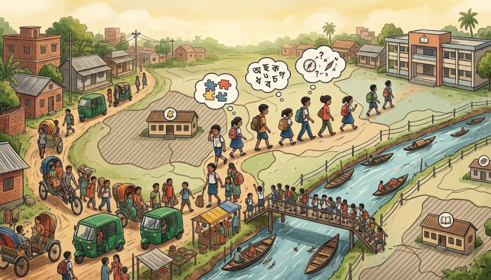
Bangladesh does not operate a formal, enforceable school catchment system in any meaningful sense. While primary schools are nominally distributed across upazilas and unions, the allocation of students to specific institutions is rarely governed by rational geographic mapping, population density analysis, or household proximity. The result is a paradox of simultaneous overcrowding and underutilization: government primary schools in densely populated urban peripheries and rapidly growing semi-urban towns are severely overcrowded, operating in double and triple shifts that fragment instructional time and degrade learning conditions, while institutions in sparsely populated or infrastructurally inaccessible areas operate below capacity and struggle to retain both students and qualified teachers.
This absence of planned catchment governance has significant consequences for family welfare. In low-income households, where the opportunity cost of a child’s school journey is measured in lost domestic labour, safety risks on unmaintained roads, and transport costs that strain already fragile budgets, the distance between home and the nearest functional school is not an administrative detail. It is a determinant of whether a child attends at all. It also helps schools to know about the significant needs of the families as they can have close contact with every sibling. Girls are disproportionately affected, as social and safety concerns intensify with travel distance, particularly at the secondary level. The empirical relationship between school proximity and female retention is well established, yet education location policy in Bangladesh has not translated this knowledge into systematic action.
Ministry Policy: Supply-Driven, Demand-Blind
The Ministry of Primary and Mass Education and the Ministry of Education have historically approached school establishment and infrastructure investment through a supply-driven logic … building institutions where land is available, where local political constituencies demand them, or where donor-funded projects are directed. They don’t focus on demand-side analysis of where children live, how they travel, and what household-level barriers most significantly constrain their participation. The consequence is a school network whose geography reflects political economy and historical accidents more than educational planning rationality.
Secondary school distribution compounds the problem. The heavy reliance on private, non-government institutions, which constitute most secondary schools in Bangladesh and depend on government recognition and partial salary support, means that the location of secondary education has been substantially determined by private initiative rather than public planning. This produces geographic clustering in commercially viable locations and severe provision gaps in remote, char, haor, and coastal areas where private initiative finds insufficient economic incentive. Children and families in these regions face not only longer distances but qualitatively inferior institutions, with higher rates of teacher absenteeism, weaker infrastructure, and narrower curricular offerings.
What Must Be Done
Optimizing educational attainment and family welfare through spatial planning requires the Ministry of Education to undertake a fundamental shift in methodology. First, a national school mapping exercise, integrating census data, household survey data, and geographic information systems, must be conducted and institutionalized as the evidence base for all future school establishment, consolidation, and infrastructure investment decisions. Schools must be placed where children are, not where land is cheap or political capital is available.
Second, a formal catchment area framework must be introduced at the primary level, assigning defined geographic zones to each institution, enabling rational resource allocation, teacher deployment, and infrastructure investment proportional to enrolled and projected student populations. This would also allow the Ministry to identify and address the most severe overcrowding and underutilization simultaneously, rather than managing each as an isolated crisis.
Third, the specific barriers faced by girls, children with disabilities, and students from ethnic minority communities must be embedded as explicit criteria in location planning decisions, with safe transport provisions, hostel facilities, and satellite learning centres designed as components of the spatial education system rather than afterthoughts. Family welfare and educational attainment are not separate objectives; they are achieved or forfeited together.
Conclusion
Bangladesh’s education expansion has been a genuine success story, but its next chapter cannot be written with the same instruments that delivered enrolment gains. The spatial intelligence of the education system where schools are, how they are distributed, and whether that distribution reflects the actual geography of need, must become a first-order policy priority. A child who cannot safely reach a school, or who attends a school so overcrowded that meaningful learning is impossible, is not receiving education. They are receiving its administrative shadow. Bangladesh deserves the substance.