
Farzana Nupur
Stamford University
This review assesses the launch of Abhawa, the weather information mobile application developed by the Bangladesh Meteorological Department with support from RIMES and BBC Media Action. Its purpose is to evaluate how effective the app is likely to be for farmers, river transport authorities and weather-dependent businesses, and to examine whether infrastructure, internet speed, smartphone know-how and technical resources in these sectors will help or hinder its impact.
What the launch promises
Abhawa offers location-based forecasts, hazard alerts and an emergency sound bypass feature that works even when a phone is on silent. Voice-based weather services are planned for later. These are sensible features. Location-specific forecasts address a long-standing weakness of generalized bulletins, and the silent-mode override could matter during night-time cyclones or sudden storms.
The launch also sits within a wider disaster preparedness push, including shelters for lightning-prone areas, which kill an estimated 200 to 300 people a year, and a growing volunteer database. Ambition is commendable, but an app is only as useful as its reach and its fit with how people work.
Farmers: the greatest need, the greatest barriers
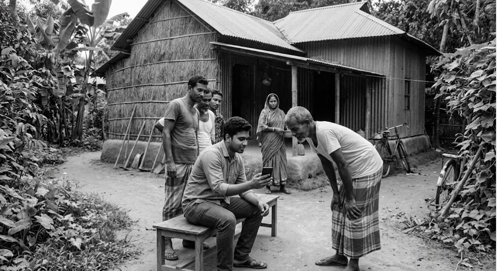
Farmers stand to gain the most from accurate, localized forecasts that guide sowing, irrigation, spraying and harvesting. Yet many operate in rural areas where mobile data is slow, patchy or expensive. Lightning-prone haor and northern districts, the very places the minister highlighted, often have weak network coverage. An app that depends on a stable connection to refresh forecasts may fail precisely when a warning is most urgent.
Digital literacy is a second concern. Many older farmers use basic phones or smartphones only for calls and social media. Navigating menus, enabling location permissions and interpreting forecast terms can be daunting. Language and presentation matter too: forecasts in technical vocabulary are less useful than plain Bangla advice such as when to delay harvesting. The promised voice service is therefore not a luxury but a necessity, and the delay in delivering it is a weakness of the initial launch. Without agricultural extension officers, local leaders or community radio to explain and reinforce the app, adoption is likely to stay thin.
River transport: operational reliance, limited fit
For river transport authorities, launch operators and ferry services, weather information is a safety matter. Sudden squalls, low visibility and storm signals directly affect passenger lives. Here, the app may serve as a supplementary channel, but it cannot replace established warning systems such as signal flags, wireless alerts and direct communication with vessel masters. Many river crews carry modest phones, and network coverage on open waterways is unreliable. Charging facilities on small boats can also be limited.
A more serious question is institutional. The launch coverage says little about integration with transport authorities’ operational systems. If forecasts are not linked to terminal management, dispatch decisions and enforcement of trip suspensions, the app risks being informative but not decisive. Real value would come from authority level dashboards, automated alerts to licensed operators and clear protocols for halting departures.
Industry and weather-dependent businesses
Construction firms, ports, garment factories, fisheries, brick kilns and outdoor event organizers all lose money when weather catches them unprepared. Urban businesses are better placed to use the app because connectivity and smartphone ownership are higher.
Even so, planning decisions require more than a general forecast. Businesses typically want rainfall intensity, wind speed, tidal data and multi-day outlooks, along with application programming interfaces that feed into their own systems. The launch material describes a public-facing tool, and it is unclear whether such business-grade data will be offered. Small enterprises, such as fishers and roadside traders, face the same literacy and connectivity challenges as farmers.
Infrastructure and technical resources
Beyond individual users, effectiveness depends on the quality of the underlying forecasts. Location-based accuracy needs dense observation networks, modern radar coverage and reliable computing capacity. If local forecasts are only marginally better than district level ones, trust will erode quickly after a few missed warnings.
Server capacity matters as well. During cyclones and floods, millions of users may open the app at once, and any outage at that moment would be damaging. The BMD will need robust hosting, regular updates, user support and sustained funding. Donor supported projects sometimes struggle once their funding cycle ends, so maintenance beyond the project period is a legitimate worry.
Verdict
Several measures would help. Offline functionality, with forecasts caught and SMS alerts, should be prioritized for areas with weak networks. Voice and icon-based interfaces would serve users with limited literacy. Training through extension workers, union councils, boat associations and community radio would build confidence. Integration with river transport protocols and business data feeds would turn information into action. Finally, usage of data and feedback should be monitored publicly so that gaps are identified early.
Abhawa is a welcome step and its design choices show awareness of real hazards. Its effectiveness, however, will be decided less by technology than by connectivity, literacy, institutional integration and long-term resourcing. Unless these are addressed, the app risks serving the already well connected while missing the farmers, boat crews and small businesses who face the greatest danger from the weather.